 Search


- Skysight showcases its full chain satellite application achievements at the 2025 Shenzhen High Tech Fair, showcasing four core systems
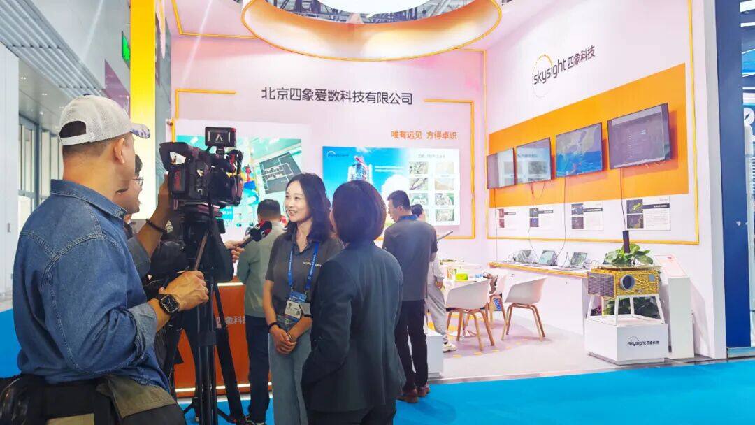
On November 14, 2025, the 27th China International High tech Fair (referred to as the "High tech Fair") officially kicked off at the Shenzhen International Convention and Exhibition Center (Bao'an). During the three-day exhibition, world-renowned technology companies from over a hundred countries and regions around the world were invited to join the feast. The exhibition is aimed at the forefront of world technology and major national needs, focusing on fields such as artificial intelligence, green energy, life sciences, deep sea, earth and space, showcasing new products and technologies, and comprehensively reflecting the major breakthroughs made in various sub sectors of China's new quality productivity.
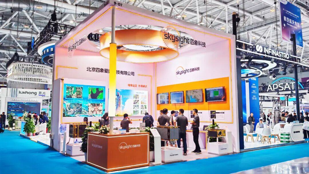
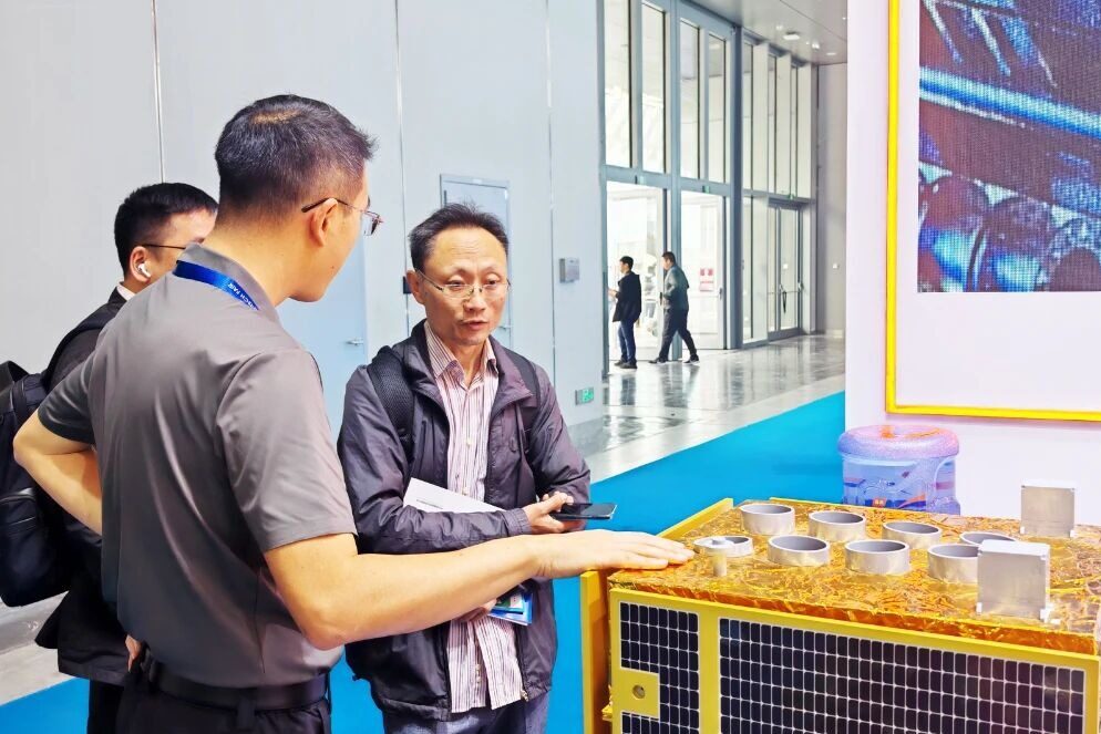
As a representative enterprise in China's commercial aerospace industry, Skysight Technology Co., LTD. showcased its innovative achievements in full chain satellite applications at the exhibition. The company is driven by a dual wheel strategy of "self built multi-source remote sensing satellite constellation+innovative application solutions in multiple fields", demonstrating its hardcore strength in empowering industrial upgrading with spatiotemporal data.
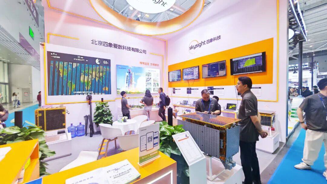
At this year's High Tech Fair, Skysight showcased a full stack solution based on a self built satellite constellation, focusing on four core application service management systems and dynamic scene displays of agricultural holographic perception and intelligent decision-making services, allowing the audience to intuitively experience the practical path of the "space data" landing industry.
Four core systems, building a solid foundation for spatiotemporal data services
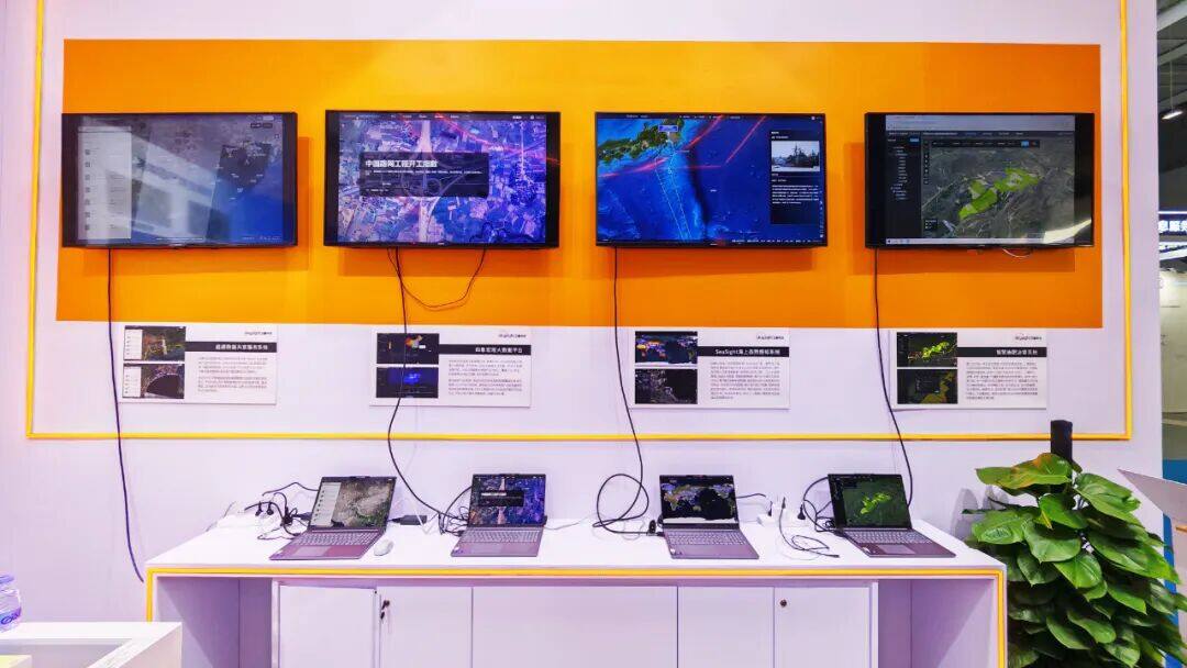
Sea Sight Maritime Situation Awareness System: Focusing on situational awareness in hot sea areas, it is a specialized information platform that integrates the presence of multiple forces and motion monitoring. This system can integrate multi-source data such as satellite remote sensing, unmanned aerial vehicle remote sensing, and ship AIS, achieving full process coverage of ship dynamic display, identity recognition, trajectory tracking, intent analysis, threat extraction, trend prediction, and real-time control. It also automatically generates standardized maritime situation text through AI large models, providing intelligent decision support for maritime control.
Smart Fertilization Decision System: Developed based on integrated sky ground monitoring data, integrating core information such as farmland plots, soil properties, crop phenology periods, and fertilizer demand patterns. The system can realize the mapping display, query, and statistics of multidimensional information of land parcels, soil, and crops, providing a full chain service of fertilizer analysis, prescription map generation, fertilization operation guidance, and effectiveness feedback, providing data support and decision-making reference for variable fertilization, precision management, and sustainable agricultural development.
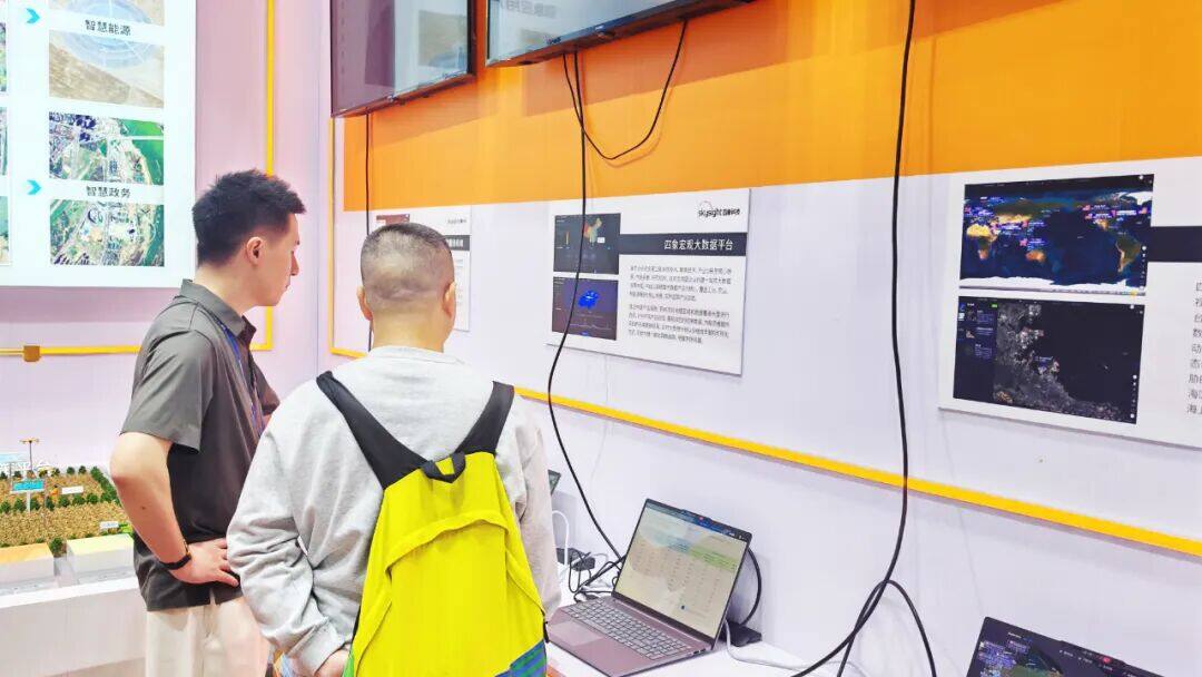
Macro big data service platform: relying on multi-source satellite remote sensing technology, focusing on core scenarios of economy, industry, and people's livelihood, it builds a one-stop big data decision-making center for investors, research institutions, governments, and multinational enterprises. The platform focuses on high-precision big data products, covering 9 core scenarios such as industry, agriculture, and new energy, and tracks industry dynamics in real time.
Remote Sensing Data Sharing Service System: The company builds an efficient and convenient remote sensing data trading service bridge, supporting cataloging and querying of remote sensing data from four constellation satellites, online browsing, and ordering of standard/common products. It provides diversified services such as online download, offline delivery, and data push to meet the precise data acquisition needs of different customers.
Agricultural holographic perception solution empowers the intelligence of the entire production process
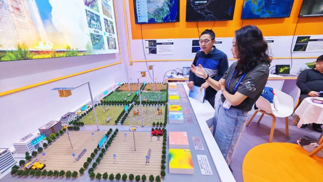
The dynamic scene display of agricultural holographic perception and intelligent decision-making services exhibited by Skysight is the company's intelligent service solution focusing on the entire agricultural production process. The entire life cycle information of crops, including base fertilizer, sowing, irrigation, topdressing, pesticide application, disaster monitoring, yield estimation, and harvesting, is covered by "holographic" technology. Through "perception", an integrated monitoring system of space remote sensing (satellite), aerial remote sensing (drone), and ground sensing (Internet of Things) is constructed, relying on the core of "intelligent decision-making". The data center combines high-precision inversion models and intelligent algorithms, with integrated monitoring data as input and prescription maps as output. Through intelligent agricultural machinery and drones landing execution, precise decision-making is provided for water, fertilizer, medicine, disaster, sowing, harvesting and other links, helping to improve agricultural production efficiency.
In addition, Skysight also showcased comprehensive satellite application solutions in fields such as smart agriculture, smart finance, smart energy, and smart government, fully demonstrating the diverse application scenarios and broad market prospects of commercial aerospace technology, providing a new path for digital transformation in various industries.
Comment

 Praise
 Collect
 Comment

 Share
Share


Write something~