 Search


- The first satellite of Uzbekistan, Samarkand-2028, was launched into orbit by China from an offshore platform near Shandong
- Spaceborne Ukrainian self-developed AI module opens a new chapter in space governance for Central Asian countries
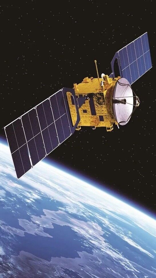
In the morning light, a fiery dragon rose from the Yellow Sea. At 10:38 am Beijing time on August 5th, the Jielong III carrier rocket took off from a sea launch platform east of Haiyang, Shandong, and sent two hyperspectral remote sensing satellites into the predetermined orbit together - one of which is called Samarkand-2028, the first satellite of its own in Uzbekistan's history; The other one is Lampung-1 from Indonesia. In the control room in Tashkent, Ukrainian engineers stared at telemetry data and jumped green. Someone quietly wiped the corner of their eye: This Central Asian country's first glance into space was completed together with China's commercial aerospace.
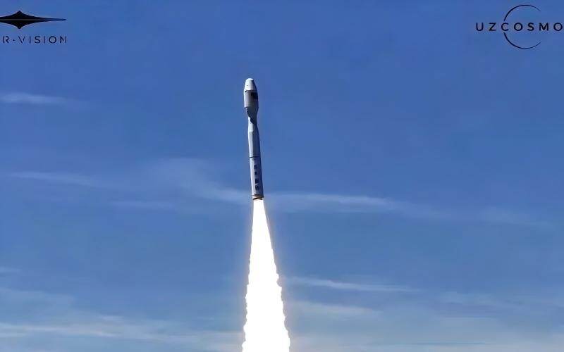
One rocket, two stars at sea
This mission is led by the Chinese company STAR.VISION, and the sea launch site is located near the coast of Shandong, with the same rocket carrying customers from Uzbekistan and Indonesia into the sky. Samarkand-2028 is a hyperspectral Earth observation satellite that can record the reflection information of the Earth's surface in more than 20 spectral bands, which is equivalent to taking invisible spectral fingerprints of land, crops, and water bodies; It is a 300 kilogram twin star on the same platform as Indonesia Star, with a width of about 300 kilometers, and can revisit the same location in 5 days.
For Uzbekistan, this is not buying a space photo, but the first time sending domestically developed software into orbit. The Uzbek Cosmos team from the National Space Agency of Ukraine will be stationed in the Chinese factory by the end of 2025, working with engineers from the Earth's second satellite to adjust algorithms and conduct joint tests, pushing the space program announced by the Presidential Office from paper to a sun synchronous orbit at an altitude of 550 kilometers.
The star comes with its own AI brain
The habit of remote sensing satellites in the past was to take photos from the sky, transmit all the raw data back to the ground, and then hand it over to the computer room for slow calculation. Samarkand-2028 has changed its gameplay - Uzbek Cosmos experts have independently developed an onboard artificial intelligence module that can directly screen images, extract features, and identify anomalies in orbit, and only transmit the processed results back to the ground.
This mechanism compresses the interpretation that can only be obtained the next day in the traditional mode to the minute level, significantly reducing the amount of downlink data and relieving the pressure on the ground station. From the perspective of ground defense, it is compared to moving an AI inference platform from the ground into space, from transmitting images to transmitting conclusions.
Deputy Director General of the Ukrainian side, Ibrahimov, put it more bluntly: the entire cycle of cotton from sowing to harvesting, the authenticity of wheat plots, and whether vegetation is sick, AI will first judge on the satellite. The Ministry of Agriculture and Environmental Protection departments will receive signed and usable images, not a pile of original codes waiting to be decompressed.
Aiming for the 2028 Conference
The name Samarkand in satellite names is not randomly chosen. In 2028, the 79th International Astronautical Congress will be held in this ancient Silk Road city, marking its first landing in Central Asia. The Ukrainian Ministry of Digital Technology has named the satellite Samarkand-2028, which is equivalent to sending a message to the global aerospace community two years in advance: by the time you come to the meeting, our own star will already be spinning overhead.

After entering orbit, this star mainly focuses on four things: ecological environment monitoring, water and land resource management, crop growth assessment, and prediction of natural disasters and emergencies. Based on hyperspectral data, Wufang plans to draw a national map of cotton and wheat distribution, replacing the agricultural base data that used to be manually reported and estimated by international institutions with a quarterly automatically updated star map; In the degradation and drought warning of the Aral Sea Basin, it can also provide more continuous panel data than ground stations.
Longer chess games in Central Asian regional cooperation. Uzbek Cosmos currently leases data from multiple foreign satellites, and Samarkand-2028 is the first step - the Ukrainian side has announced plans to launch a self built scientific cube star, Mirzo Urugbek, around 2028, and prepare for the first domestic astronaut to fly. The launch of the first star is not the end point, but the starting point for Central Asia to regain its space capabilities.
When the tail flame off the coast of Haiyang dissipated, Samarkand-2028 had already turned towards Earth and began its first imaging. For Uzbekistan, space is no longer just a club for powerful nations; For China's commercial aerospace industry, this is also a real-life business card that packages constellations, AI, and sea launches to go out to sea. Two years later, when the space conference banner is hung on the streets of Samarkand, there will be an additional star named after this city in the sky, silently counting the green leaves in the cotton fields and the boundaries of the saline alkali land.Editor/Yang Meiling
Comment




 Praise
 Collect
 Comment

 Share
Share


Write something~