 Search


- China's gravity satellite technology breaks the monopoly of the United States and Germany
The 2026 National Water Resources Work Conference was recently held, and Minister of Water Resources Li Guoying emphasized at the conference that advanced technologies such as gravity satellites will be accelerated to build a modern water resources monitoring system. This marks the official entry of China's water management into a new stage of integrated perception of "sky ground water engineering".
What is a gravity satellite?
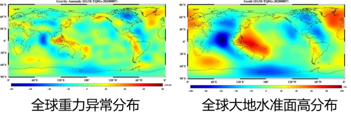
Gravity satellites do not directly capture images of the Earth's surface, but rather infer the distribution of subsurface material by sensing subtle changes in the Earth's gravity field. Just like doing a 'CT scan' of the Earth, it can capture changes in gravity signals caused by the exchange of atmospheric, oceanic, and terrestrial water masses.
These changes are extremely small and may cause the distance between the two satellites to change by only a few micrometers - less than one tenth of the diameter of a human hair. Satellites use high-precision ranging technology to filter out interference from the atmosphere, sunlight, and other sources, ultimately drawing a global gravity distribution map to reveal the distribution and changes of resources such as groundwater and minerals.
Why do we need it?
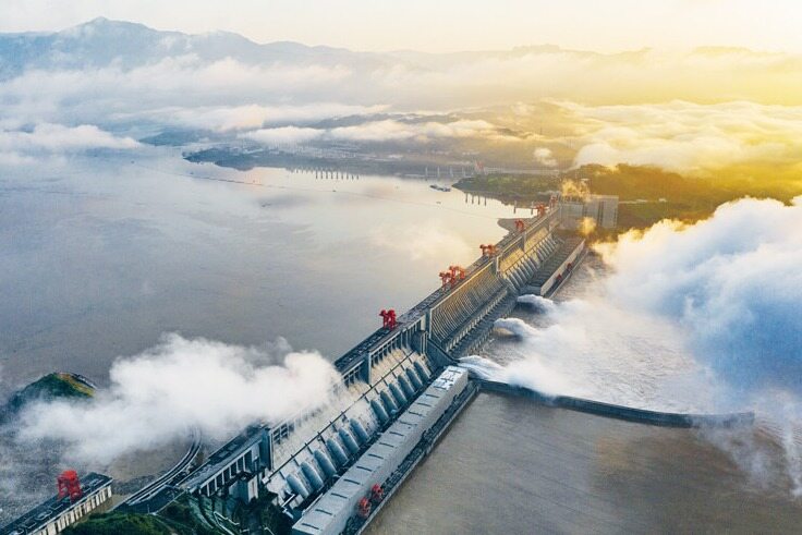
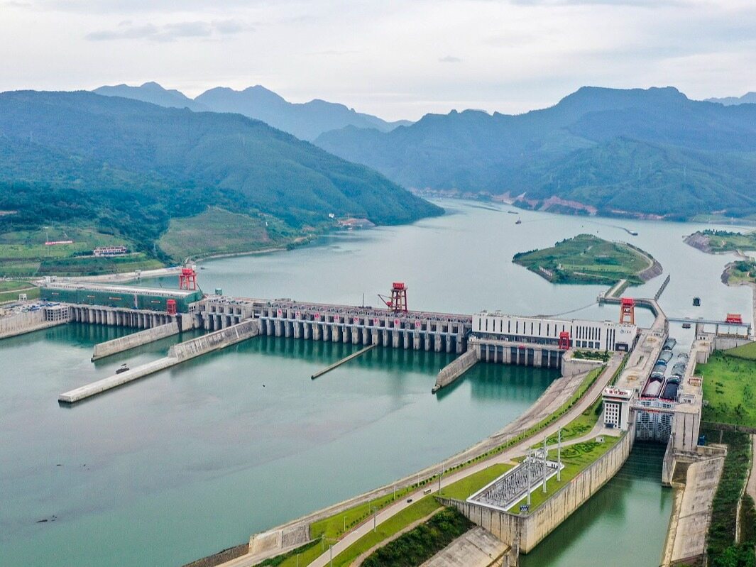
For a long time, groundwater monitoring in China has mainly relied on ground monitoring stations, combined with hydrogeological conditions for analysis. Although the national groundwater monitoring project has initially established a network system, it is still very difficult to fully grasp the changes in groundwater reserves due to complex geological conditions, uneven distribution of stations, and insufficient deep monitoring.
Traditional remote sensing methods can only monitor surface water and shallow soil water, and are almost powerless against deep groundwater. The emergence of gravity satellites has broken through this spatial limitation and achieved large-scale and dynamic monitoring of groundwater reserves.
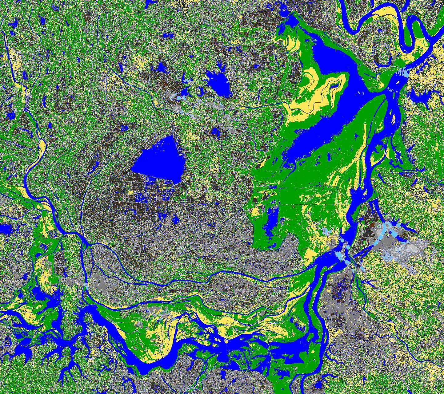
Internationally, GRACE and other satellites have successfully validated the feasibility of this technology. Chinese scientists use gravity satellite data to study groundwater in the North China Plain, and the results are highly consistent with the traditional monitoring data, proving its accuracy and effectiveness.
From technology introduction to independent innovation
In 2022, the "Tianqin 1" satellite, led by Luo Jun, an academician of the CAS Member, successfully acquired global gravity field data. This is the first time that China has used domestically produced satellites to measure this critical data, breaking the long-standing monopoly of the United States and Germany, making China the third country in the world capable of independently detecting the global gravity field.
In addition, a series of breakthroughs have been made in tasks such as "Taiji No.1". These achievements have provided independent data sources for China's water conservancy, geology, climate and other fields, no longer limited by the openness and timeliness of foreign satellite data.
Dual track networking and digitalization of water conservancy
Domestic and foreign scientists are promoting the next generation of "dual orbit network" gravity satellite program, which will have two pairs of "sky eyes" observing the Earth from different angles in the future, greatly improving measurement accuracy and spatiotemporal resolution. This will bring revolutionary progress to disciplines such as hydrology and geophysics.
The Ministry of Water Resources is currently formulating a development plan for water remote sensing satellite applications and accelerating the construction of a space-based monitoring system. With technological iteration, gravity satellites will provide more accurate and stable data support for China's water security, drought resistance and disaster reduction, and land subsidence prevention and control. Keywords: New Infrastructure News, Water Resources Remote Sensing Satellite
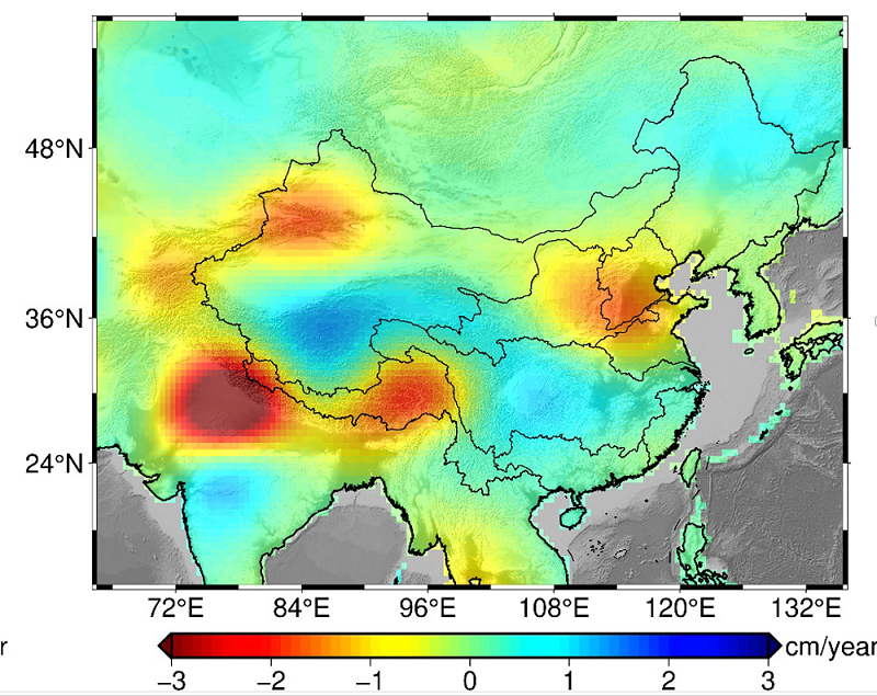
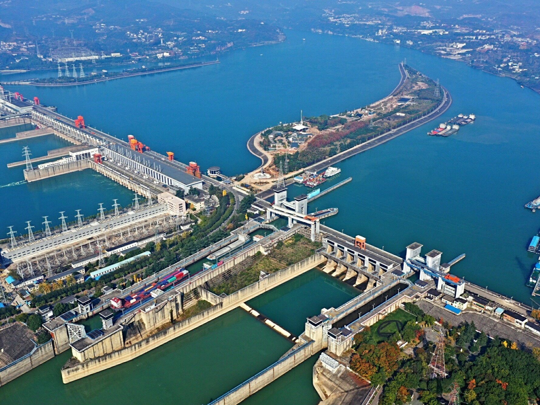
From the North China Plain to the northwest arid region, from the Yangtze River valley to the Qinghai Tibet Plateau, China's "heavenly eye" in space is silently guarding every drop of groundwater resources. At the critical juncture of water conservancy technology development in 2026, the deployment of gravity satellites is not only a technological upgrade, but also a symbol of China's refined management of water resources moving towards a new era.Editor/Yang Meiling
Comment

 Praise
 Collect
 Comment

 Share
Share


Write something~