 Search


- Low altitude technology enters farmland, solving multiple practical problems in traditional grain cultivation
- Integrated digital system of space, sky, and earth, constructing an intelligent control system for the entire rice and wheat cycle
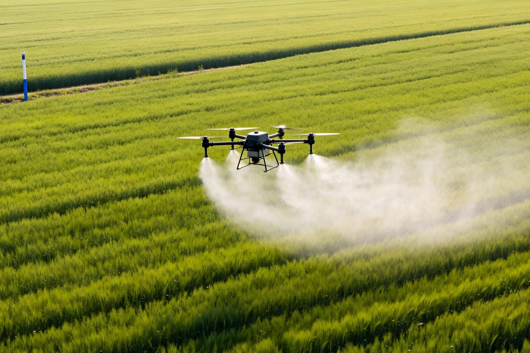
When the wind swept over the rice fields in the northern plains of Jiangsu, the anxiety of traditional farming spread here - measuring the fields with one's legs and applying fertilizers based on feeling, putting the dual pressure of ecology and development on this land of fish and rice. Nowadays, the intangible digital sky network is quietly reshaping the cultivation genes here.
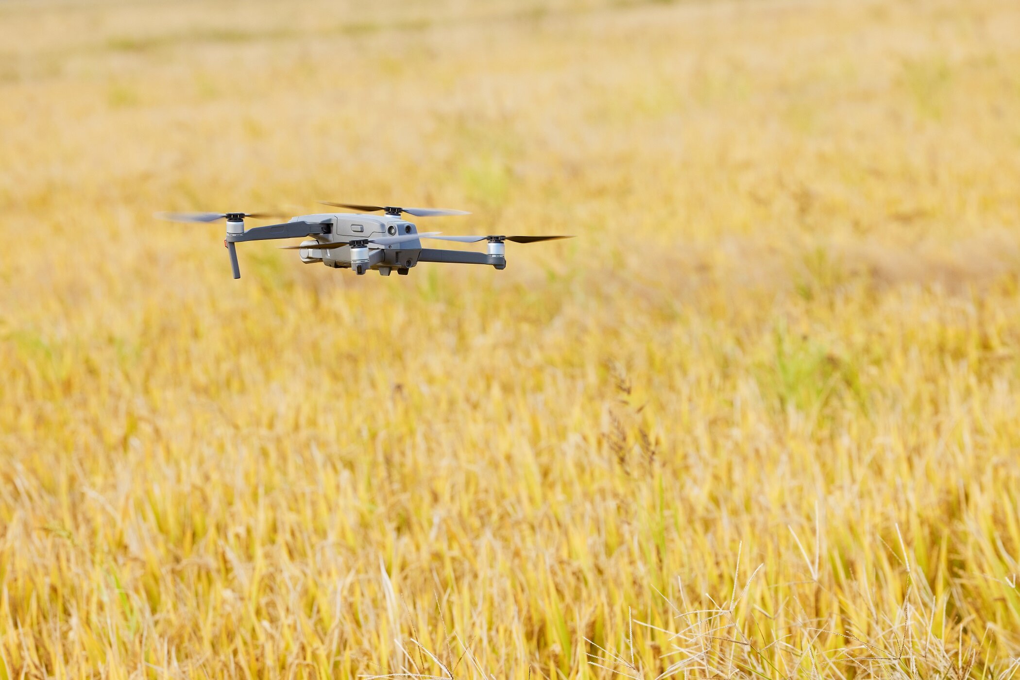
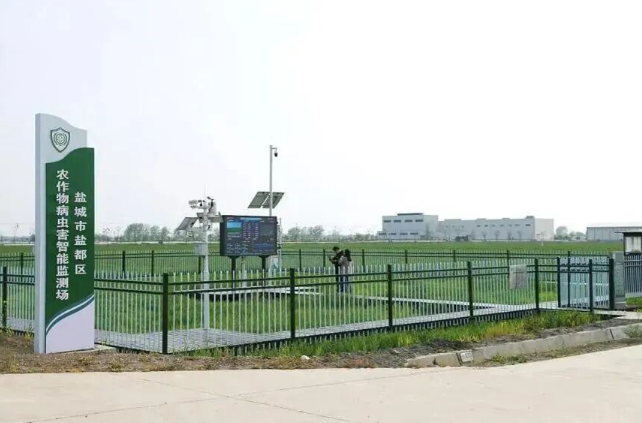
Yancheng is a core grain production area in Jiangsu Province. Traditional rice and wheat planting faces various challenges, such as low efficiency of manual field inspections, relying solely on experience for agricultural arrangements, extensive use of fertilizers and pesticides, and shortage of labor for large-scale planting. These problems not only result in a large amount of agricultural waste, but also exacerbate agricultural non-point source pollution. To address the pain points of planting mentioned above, Yandu District in Yancheng City relies on a mature foundation of smart agriculture services to build a unmanned aerial vehicle+AI algorithm+cloud platform rice and wheat full cycle intelligent monitoring system, empowering modern agriculture with low altitude technology, and creating a demonstration benchmark for the integrated development of low altitude and agriculture in the Jiangsu Plain region.
Building an intelligent system
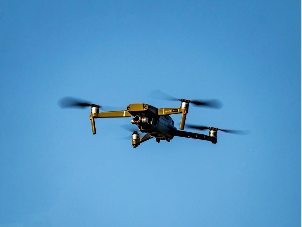
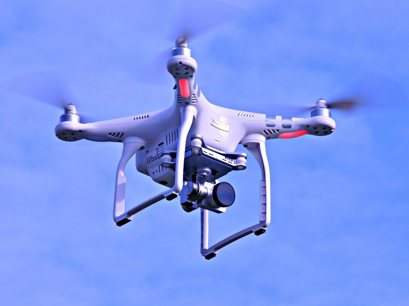
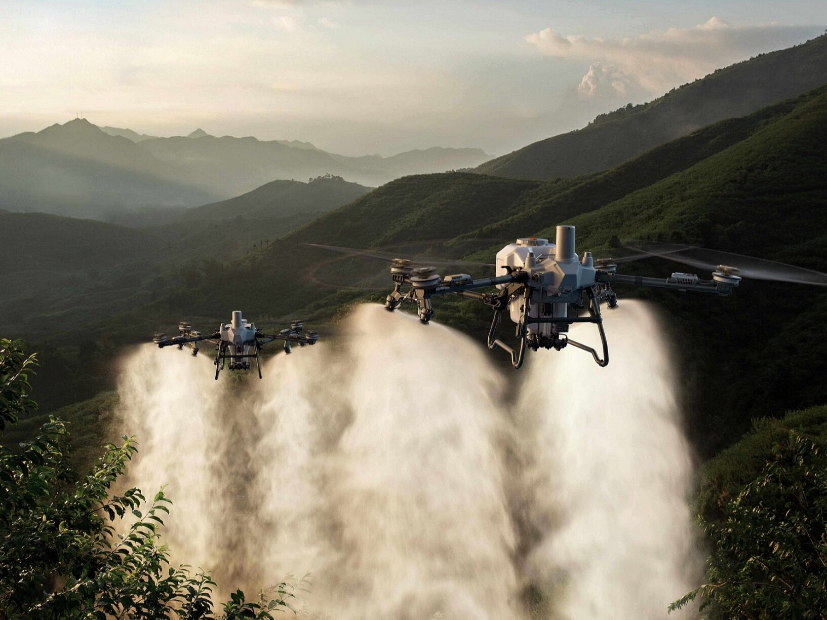
The project builds a three-layer digital technology architecture consisting of data, models, and applications, integrating multi-dimensional information from unmanned aerial vehicle (UAV) aerial photography, ground sensing equipment, meteorological data, and satellite remote sensing. With the support of five independently developed AI algorithms, it automatically identifies key data such as crop emergence, growth quality, fertilization requirements, lodging hazards, and estimates grain yield. By relying on the command screen and mobile devices to push agricultural operation guidelines, and linking with crop protection drones to complete precise field operations, we achieve digital closed-loop management of the entire process of rice and wheat from sowing to harvesting.
Green empowerment highlights social value
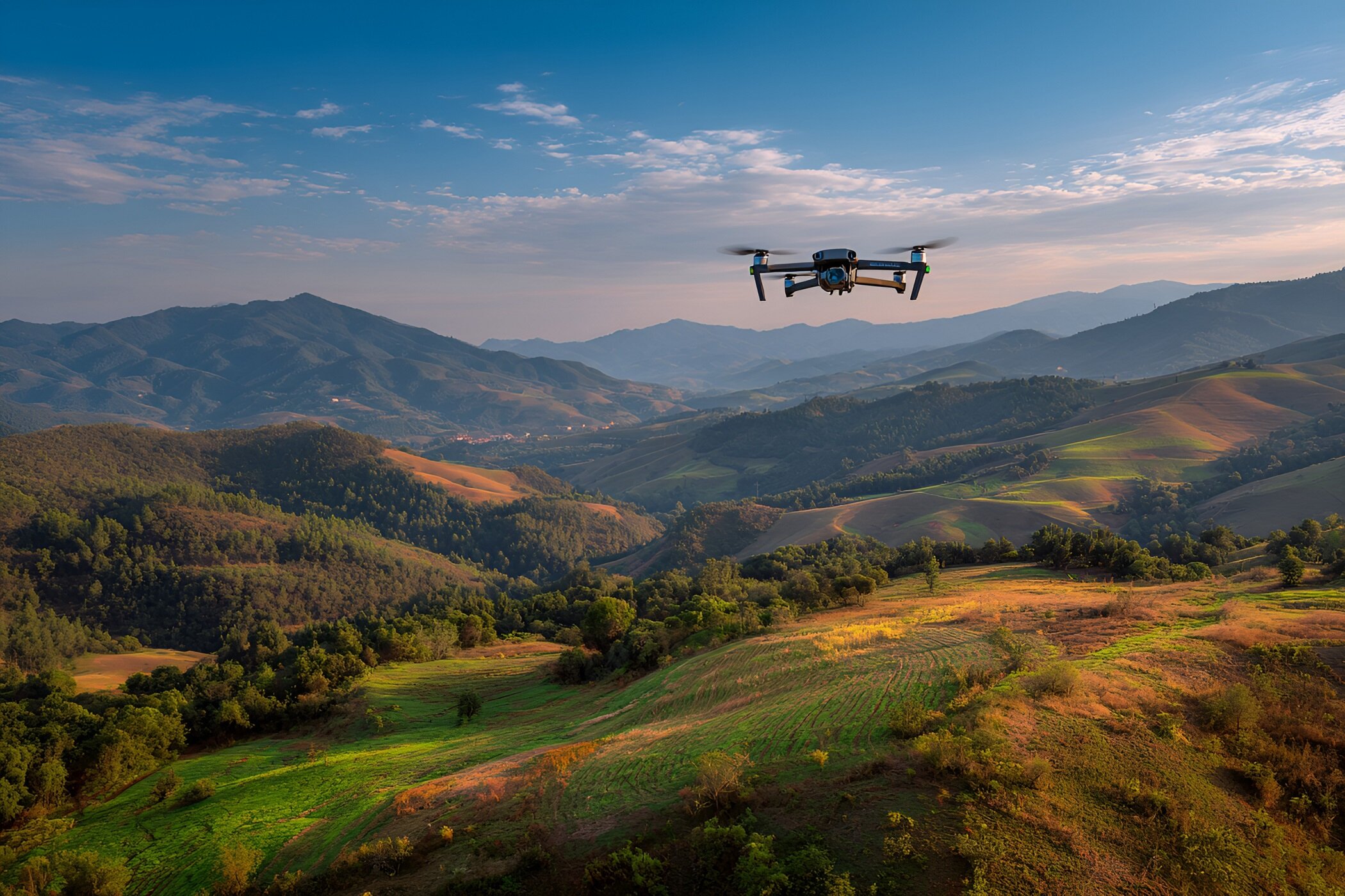
The project focuses on technical breakthroughs in four areas: multi-source data fusion, localized AI algorithm research and development, integrated control platform construction, and standardized implementation solutions. It breaks down various data information barriers, optimizes system functions based on local rice and wheat growth characteristics, and forms a lightweight, easy to implement and promote low altitude smart agriculture solution. Through cross regional pilot testing, it completes on-site verification.
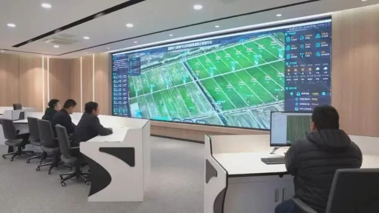
The agricultural and rural authorities will coordinate the project promotion work, establish a special working group to refine various management standards, establish supporting mechanisms such as regular communication and consultation, emergency response, and agricultural technology practical training, form a professional operation and maintenance team, continuously ensure the stable operation of the system, functional iteration optimization, and technological upgrading, and consolidate the long-term operation foundation of the project.
Building a three-tier intelligent system
By relying on AI systems to accurately control the amount of water, fertilizer, and medicine used, the cost of agricultural inputs in the 10000 mu demonstration area has been reduced by 5%, saving 250000 yuan in fertilizer and medicine investment annually. Unmanned aerial vehicle automatic inspection replaces manual field inspection, improving field management efficiency by more than 70%. The yield per mu of rice and wheat has increased by 8% to 12%, and the proportion of high-quality agricultural products has increased by 10%, truly achieving cost savings, efficiency improvement, and increased production and income in agricultural production.
Develop a standardized low altitude intelligent monitoring implementation plan for rice and wheat, providing a reference model for the construction of smart agriculture in the province. The digital platform provides precise agricultural technology guidance services, with a satisfaction rate of over 95% among farmers, promoting the shift from traditional experience farming to digital scientific planting. At the same time, it accurately reduces the use of fertilizers and pesticides, effectively alleviates agricultural non-point source pollution, and helps promote the green and low-carbon transformation of agriculture. Keywords: Low altitude economy, unmanned aerial vehicles, smart agriculture
The current technology has been implemented and operated stably in multiple locations in Yancheng and Huai'an. In the future, we will export standardized online service models, with a focus on expanding and landing in the main grain producing areas of Jiangsu, Anhui, Henan, Huang Huai Hai. Simultaneously developing new formats such as unmanned aerial vehicle agricultural insurance loss assessment, food quality evaluation, and farmland carbon sequestration calculation, and building a low altitude full industry chain development model for agriculture.Editor/Gong Ziwei
Comment


 Praise
 Collect
 Comment

 Share
Share


Write something~