 Search


- The unmanned aerial vehicle squadron in Hubei's government affairs field has been officially unveiled
- Fill in the gaps in low altitude perception of the sky, earth, and sky
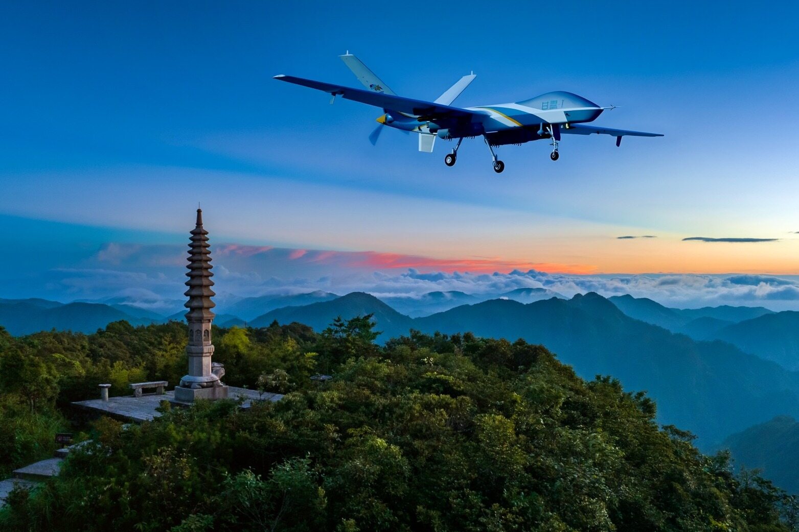
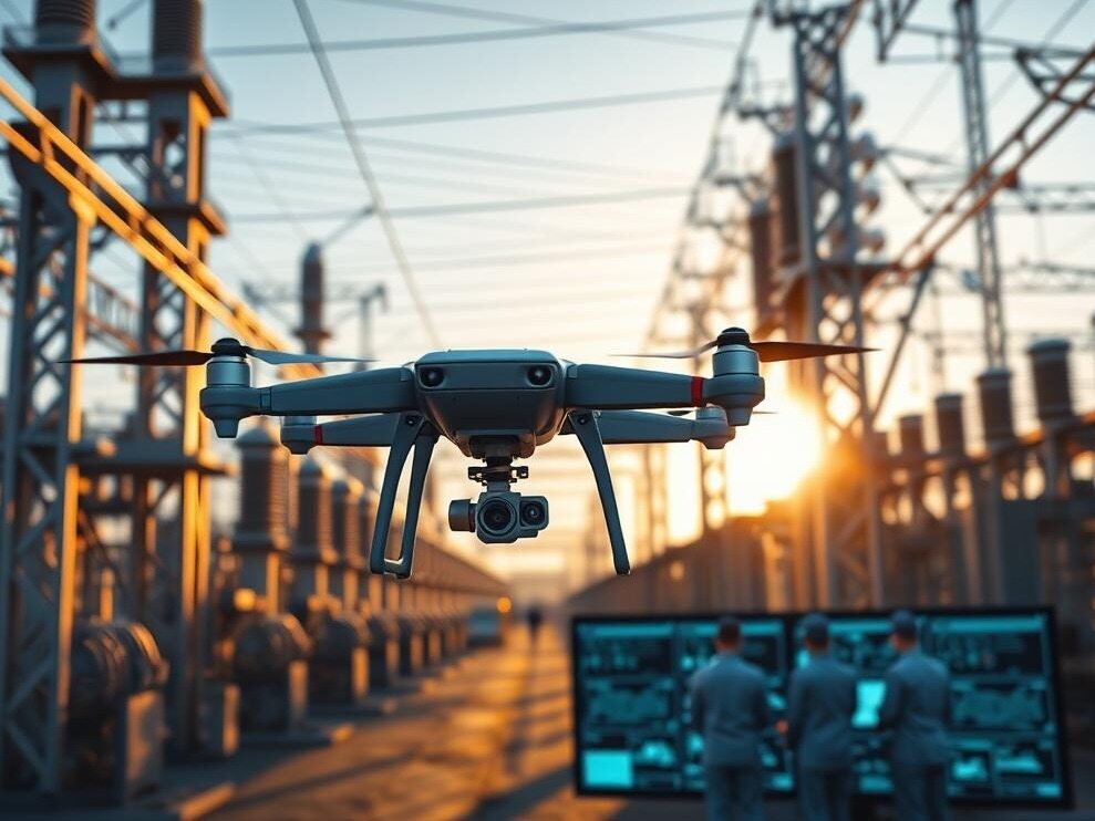
In the past, government drones were mostly purchased and used separately by various departments, with scattered resources and disconnected data, making it difficult to quickly coordinate cross regional emergency tasks. Hubei is targeting the bottleneck of low altitude governance, building a unified platform and forming a dedicated team to collect unmanned aerial vehicles scattered in various cities, counties, and departments, connecting dispatch and data channels, achieving multi department sharing of results in one flight, and making low altitude perception better serve the digital governance of the whole province.
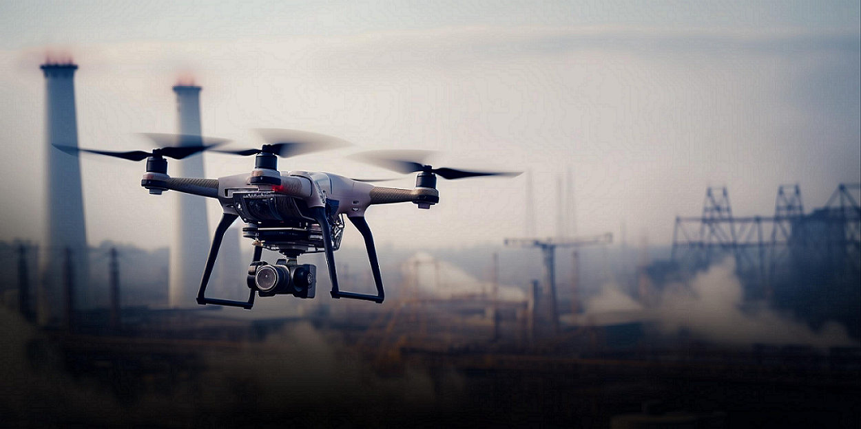
Open up data silos
In the past, there were problems with self built and self used unmanned aerial vehicles, such as line segmentation, and the phenomenon of repeated investment was prominent, making cross departmental collaboration difficult. The platform service built for this project, Shuzhi Hubei One Map Construction, follows the idea of fully connecting multiple scenarios with one network, one map, and one hub. The results of drone flight trajectory operations are collected into a unified resource pool and integrated with satellite remote sensing video monitoring and other perception data to fill the gaps in low altitude perception and support risk prevention and emergency response work.
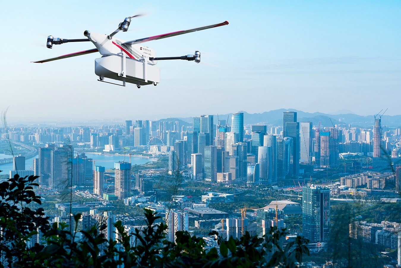
Building a team system
A one plus N plus seventeen team system is established locally, with one provincial-level brigade coordinating the overall situation, multiple provincial-level professional squadrons providing technical support, and seventeen city and state squadrons responsible for local operations. Daily tasks are handled locally, while major cross regional tasks are centrally scheduled at the provincial level. The platform builds a province wide unmanned aerial vehicle resource pool, shares and schedules existing equipment, and qualified social forces can also be included in the pool to participate in operations. Keywords: government drones, low altitude economy, air space perception
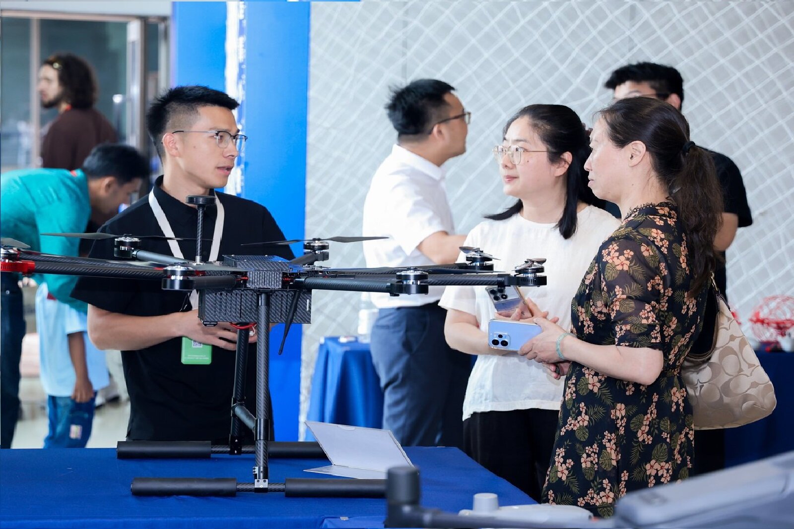
Initial capability of the platform
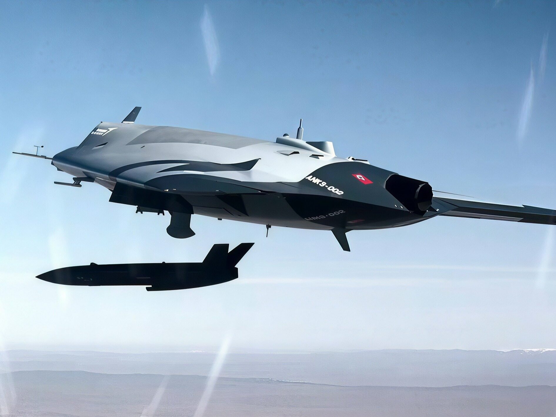
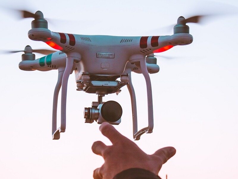
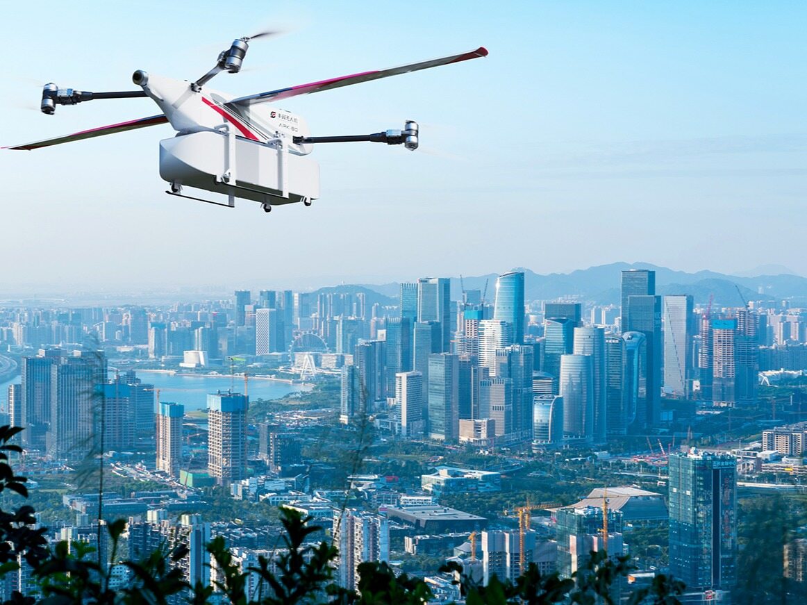
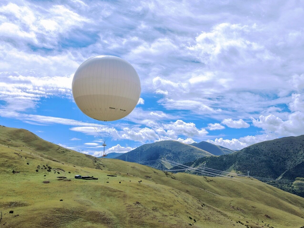
At present, the platform has integrated with existing management systems in various regions, connected more than 13000 drones, accumulated over 120 AI recognition algorithms, and landed six application scenarios including water conservancy and housing construction in the first batch. The platform operates according to a unified intelligent dispatch closed-loop performance mode, achieving multiple reuses in one flight, while standardizing airspace approval and strictly adhering to the bottom line of flight and data security.Editor/Li Xiaohua
Comment

 Praise
 Collect
 Comment

 Share


Write something~