 Search


- Drones empower Yangtze River waterway inspection and promote digital transformation of shipping management and protection
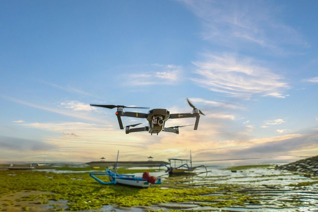
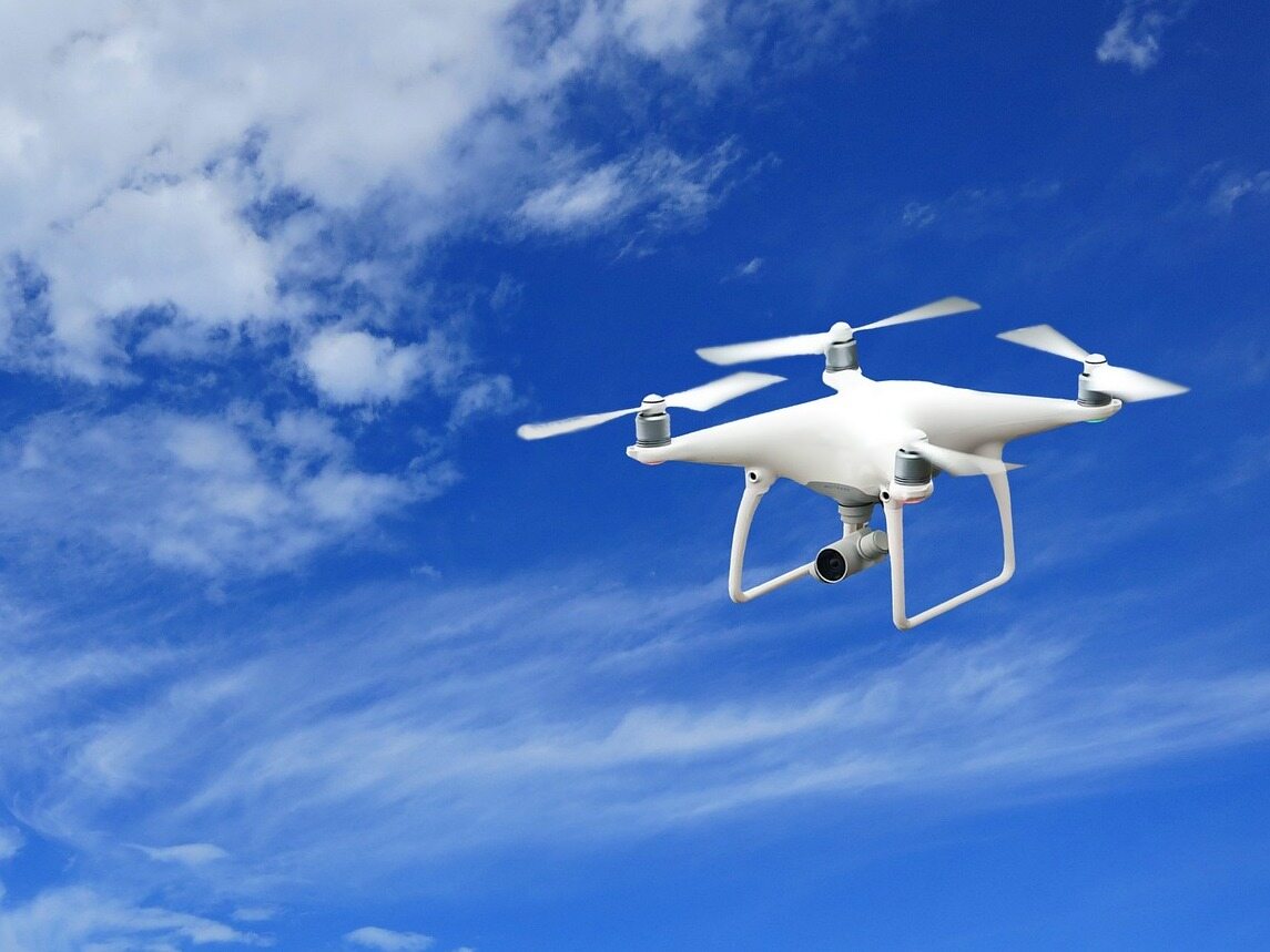
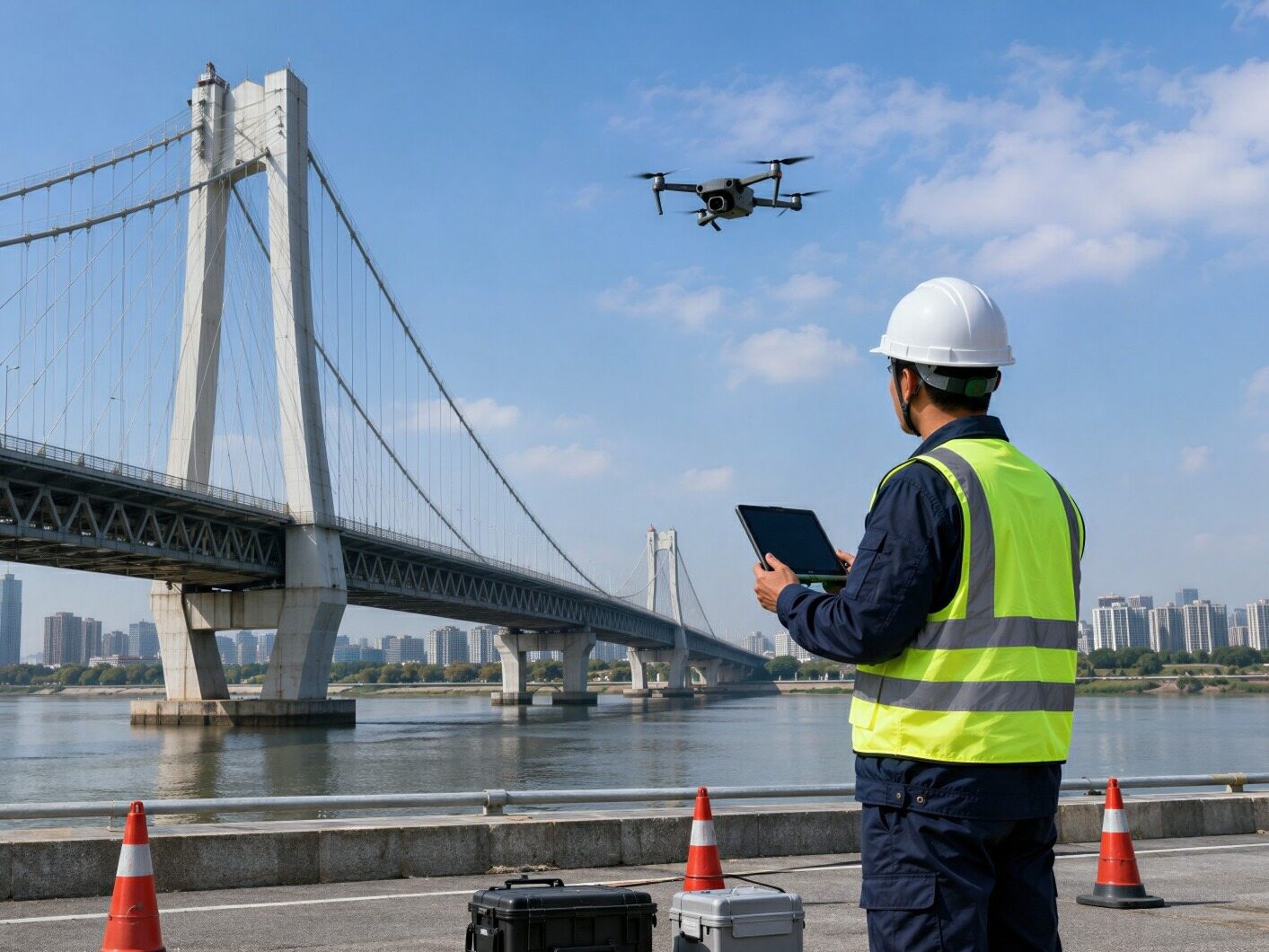
On the banks of the Yangtze River in Wuhan, shrouded in river fog, unmanned aerial vehicles automatically take off from the barge nest and shuttle across the river to conduct cruising operations. High definition footage is transmitted in real-time to the command platform. The channel management and protection mode that used to rely on ships to patrol each section is changing. The aerial power of drones is helping to innovate the management and protection mode of the Yangtze River main channel, and building a technological barrier for the safe and smooth operation of the Golden Waterway.
Global deployment of applications
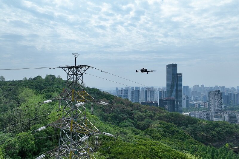
The Yangtze River Navigation Bureau regards drones as an important lever for modernizing waterway management, promotes the integrated layout of equipment drone nests, and completes the large-scale transition from local pilot projects to the entire Yangtze River trunk line. 14 navigation units across the globe are equipped with over 170 types of drones, with 34 standardized drone nests in operation. More than 50 certified professional pilots and 36 beyond visual range pilots have been trained, covering key sections of the Yangtze River upstream, midstream, and downstream.
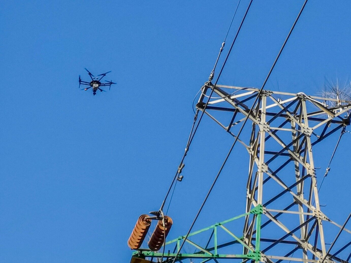
During the flood season, the water flow in the Nantong section of the river is turbulent, and there is frequent ship traffic. Drones can quickly reach water areas that are difficult to reach by traditional means, and comprehensively monitor navigation and navigation status. By the end of this year, we will achieve full coverage of 72 flyable grassroots waterways, establish a four in one air and water three-dimensional inspection system, and fill in the gaps and shortcomings of ship inspection blind spots. In the first half of the year, the total inspection time of unmanned aerial vehicles on the entire line exceeded 1582 hours, with a monthly average flight time of 2.2 hours per UAV executing 6 missions. The inspection efficiency increased by more than 50% compared to ship cruising.
Exploring new homework scenarios
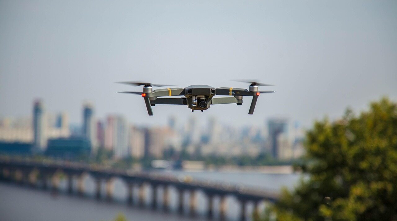
Relying on the advantages of rapid maneuverability of drones, the local area has implemented a mechanism for drone patrol of ships for review and disposal, covering scenarios such as navigation mark verification, construction site supervision, emergency investigation, etc., and achieving minute level evidence collection and verification of navigation hazards.
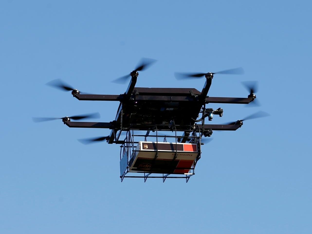
Multiple technologies have been implemented and applied, and the replacement of navigation beacon lights with flexible robotic arms using drones only takes 15 minutes, which is three times more efficient than manual labor. With the help of high-pressure water guns, non-contact maintenance of navigation beacons is completed. Equipped with laser radar to obtain centimeter level surveying data, supporting shallow water analysis and channel regulation. When encountering dangerous situations such as ship grounding, bank slope disasters, etc., unmanned aerial vehicles will be launched for investigation as soon as possible, providing on-site basis for rear dispatch.
Build a solid foundation for operation
To ensure the safe and efficient operation of unmanned aerial vehicles, the Yangtze River Navigation Bureau has promoted the construction of standards and digital platforms, formulated a trial version of the technical guide for low altitude unmanned aerial vehicle channel inspection, and improved more than 30 management systems, implementing full process management of one aircraft and one file. The Channel Insight Platform has achieved centralized management of inspection data, and three units in Shanghai, Yibin, and Chongqing have obtained normalized long-term flight permits. Keywords: drone inspection, smart shipping
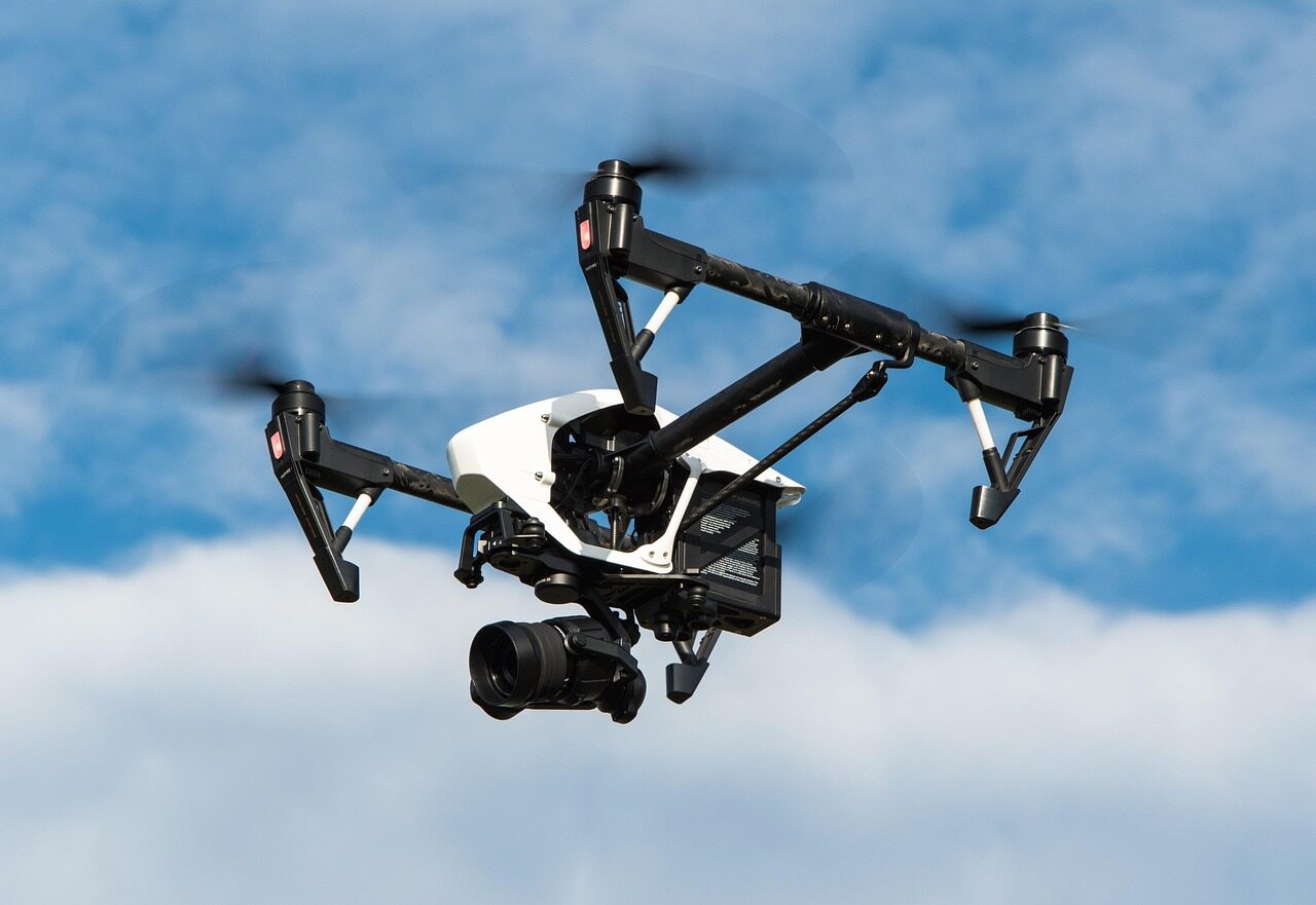
The current cumbersome cross airspace reporting restricts the large-scale promotion. In the future, we will replicate the experience of airspace permits in the three regions, simplify the reporting process for annual flight whitelists, and open a green channel for emergency rescue flights. At the same time, unmanned aerial vehicle related intelligent projects will be included in the medium and long-term planning of the smart waterway, filling the gaps in research and development, expanding operational scenarios, continuously reducing maintenance risks, enhancing the navigation guarantee capability of the Yangtze River mainline, and supporting the high-quality development of Yangtze River shipping.Editor/Min Jing
Comment

 Praise
 Collect
 Comment

 Share
Share


Write something~