 Search


- Iraq and China sign heavyweight agreement to introduce satellite remote sensing and artificial intelligence technology
- Promote the comprehensive transformation of traditional water management towards digitization and intelligence
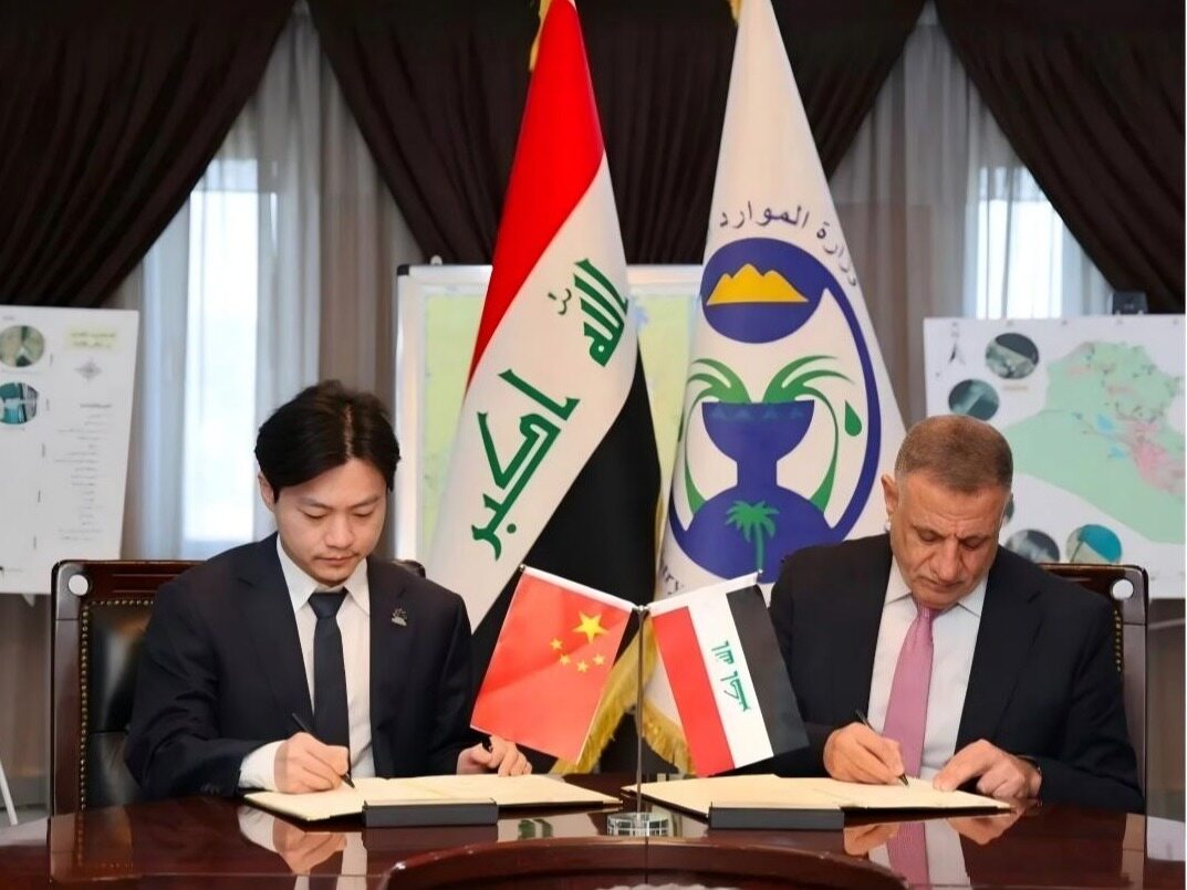
The Tigris and Euphrates rivers, the mother rivers that gave birth to the ancient Mesopotamian civilization, are now facing unprecedented pressure. The intensification of climate change and frequent droughts have raised a red light for water security in Iraq, a traditional agricultural country. How to accurately grasp the whereabouts of every drop of water has become an urgent challenge facing the Iraqi government. Recently, at an important signing ceremony in Baghdad, Iraqi Minister of Water Resources Musana Tamimi and representatives from China Electronics Industry Engineering Co., Ltd. officially signed a cooperation agreement, bringing Chinese solutions to solve this problem.

Satellite weaving monitors the sky network
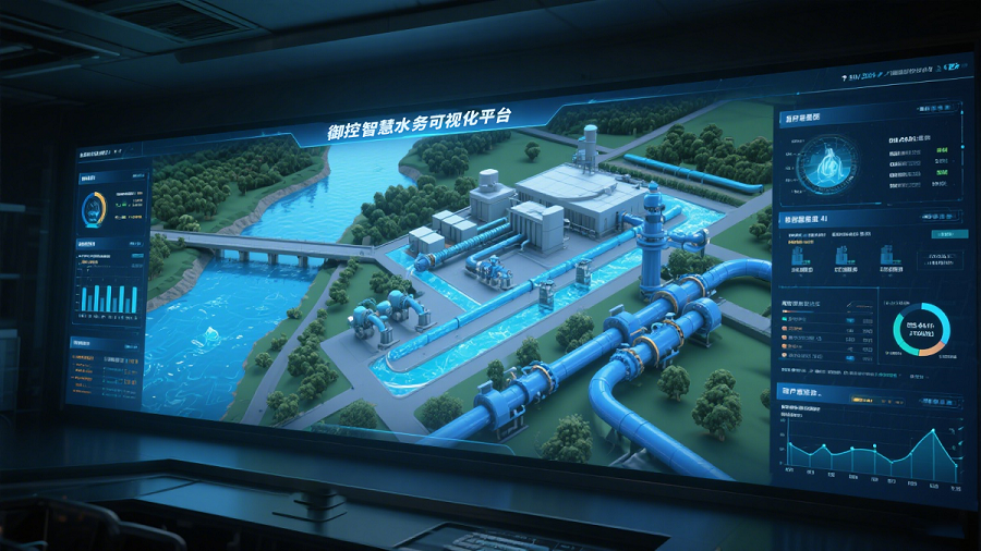
According to the agreement, both parties will use satellite technology to build a national level dynamic water resources management platform. This is not just a simple technology introduction, but also a nationwide water resource perception network. Through multispectral satellite data, Iraq's rivers, reservoirs, groundwater, and even irrigation channels will be monitored 24/7. At the same time, the project will also establish a unified national water resources data registration system, forming a comprehensive database from data collection, analysis, application to decision support, completely changing the traditional mode of relying on manual inspection and data lag in the past.
AI empowers precise analysis
Only satellite data is not enough, how to transform massive data into a basis for scientific decision-making is the key. One of the core highlights of this collaboration is the introduction of geospatial analysis and remote sensing systems empowered by artificial intelligence. AI algorithms will deeply mine multispectral satellite images to identify key indicators such as water changes, vegetation water consumption, and soil moisture. More importantly, relevant technologies will be combined with on-site verification and data calibration of key regional monitoring points to ensure the accuracy of satellite monitoring results, significantly improve the analysis and prediction ability of water resource trends, and help the government respond to drought and water shortage crises in a more timely manner.
New Chapter of China Iran Cooperation Expansion
Prior to the signing of this agreement, Tamimi had a special meeting with the Chinese Ambassador to Baghdad and the delegation involved. The two sides had in-depth exchanges on strengthening cooperation in the field of water resources and introducing China's advanced technological capabilities. The agreement not only covers the construction of the technology platform, but also includes the development of a preliminary cooperation roadmap, clarifying the project implementation mechanism and required technical infrastructure. This lays a solid foundation for further expanding cooperation between Iraq and the Chinese Ministry of Water Resources in the future. From traditional water infrastructure construction to digital water management and intelligent management, China Iran cooperation is extending to emerging fields with higher technological content. As Iraq continues to promote the construction of its water resources governance system, technologies such as satellites, artificial intelligence, and big data will become important tools to enhance its water security capabilities, and also open up new market space for Chinese companies to participate in the construction of smart infrastructure in the Middle East.Editor/Yang Meiling
Comment



 Praise
 Collect
 Comment

 Share
Share


Write something~